Posted on: February 27, 2023

Environment Canada is predicting 10 to 15 cm of snow for East Vancouver Island, Duncan to Fanny Bay, the Malahat Highway from Goldstream to Mill Bay, and the Southern Gulf Islands near Galiano and Valdes Islands.
An area of low pressure over the Pacific Ocean will produce an intense band of snow over southern Vancouver Island. The snow will begin this morning and continue until Tuesday morning. 10 to 15 cm of snow is expected to fall before the band of snow dissipates Tuesday morning.
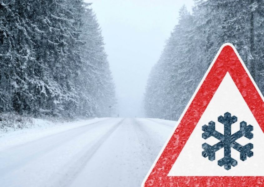
Visibility may be suddenly reduced at times in heavy snow. Weather in the mountains can change suddenly resulting in hazardous driving conditions.
Surfaces such as highways, roads, walkways and parking lots may become difficult to navigate due to accumulating snow. Be prepared to adjust your driving with changing road conditions.
The Vancouver Island Toyota 4 x 4 Club has once again offered to help those in need of a ride. See more info here.
- Travel & Driving Hazards
- Be aware of and prepared for bad weather travel, refer to Shift Into Winter with DriveBC.
- Take advantage of the free Winter Driving Safety Toolkit & Course from WorkSafeBC to implement a winter driving safety program for your team.
- Winter driving safety tips.
- Potential Power Outages
- Be familiar with the emergency plan for your area/unit, to know their roles & what to do.
- Review resources such as Power Outage Preparedness (Video) to increase their personal preparedness for power outages at home and in their communities. For more resources, see below.
- Localized Flooding
- Ensure building perimeter drains are cleared of debris
- Road closures and unsafe driving conditions
- Monitor weather forecasts and warnings closely for updates e.g.
- To report severe weather send an email to: BCstorm@ec.gc.ca or tweet reports using #BCStorm
- For emergency operational concerns, please follow your established contingency plans as well as contacting HEMBC On-Call for assistance on 1.250.370.8575.
Other resources: